I have some medium sized projects that I started over the long Thanksgiving day weekend.
Also camped in the desert with a buddy. Did some shooting and had great fire-roasted tri-tip.
 |
| First batch of handloads |
 |
| Making a battery box |
 |
| Camping in desert |
I have some medium sized projects that I started over the long Thanksgiving day weekend.
Also camped in the desert with a buddy. Did some shooting and had great fire-roasted tri-tip.
|
| First batch of handloads |
|
| Making a battery box |
|
| Camping in desert |
What could wrong with the city tracking every car in town. No worries, Mayor Kranz's understanding is that the information can't be misused.
One of my bucket list hikes is the Trans Catalina Trail which traverses the entire island. A couple years ago, Jyoti and I did the northern part so this time we tackled the southern part. We chose SOBO so we could spend some time in Avalon after the hike. We used Hiking Guy's guide for much of our planning.
Day 1
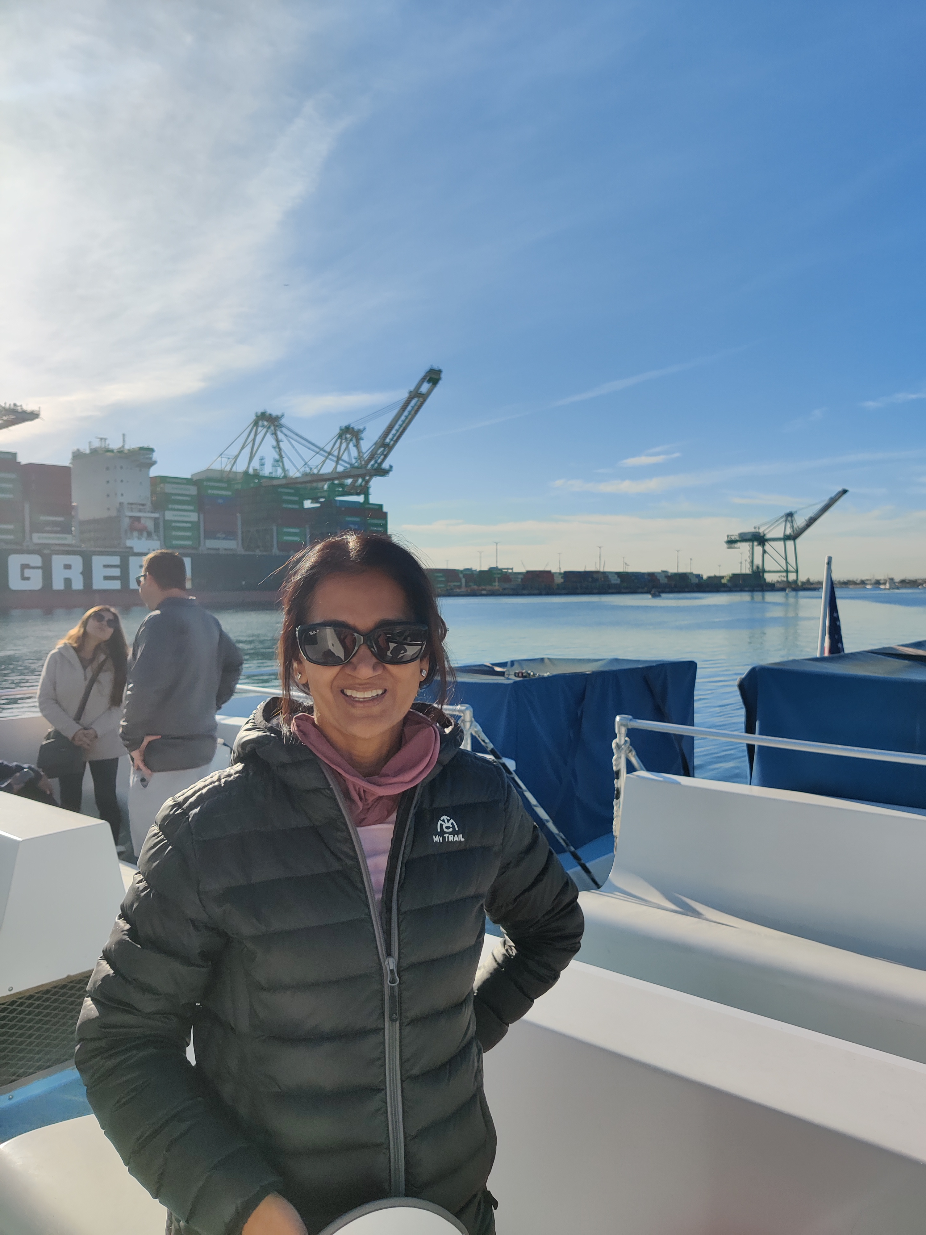
We woke up early and drove up to San Pedro to catch the boat. Due to a rescheduled beer festival, we got on a direct boat to Two Harbors. After a smooth ride over, we had lunch at Two Harbors general store, then started the climb up the ridge to Little Harbor. The climb was tough but the views along the ridge were stunning. There was steep decline into camp. We setup the tent and explored the harbor a bit. We then had dinner and started a campfire since we opted for a wood delivery. We did forget a fire started but bought one from the nice ranger.
 |
| Camp at Little Harbor |
 |
| Overlooking Little Harbor |
 |
| Starting the TCT |
 |
| On the boat |
Day 2
The hike out of little harbor was a long but not to steep climb almost to the other side of the island. Turning north, we encountered a fox that walked right by us, not caring at all. We also saw a small herd of bison. After a dusty road walk, we made a welcome stop at the airport for food, drinks and cookies. After the break, the trail headed down and out of canyon before getting us to Blackjack Campground. We were the only ones at Blackjack to start so Jyoti took an outdoor shower while there was still sun. After an early dinner we went to bed early.
 |
| Looking back to the west |
 |
| Airport in the sky hangar |
 |
| AVX flight line |
 |
| Camp at Blackjack |
Day 3
We left early on our last day hiking. In the morning light we saw several deer and a few coveys of quail. There were a couple of tough canyons to traverse and then a long ridge before we got to the Hermit Gulch overlook. The trail down into town was very steep On the way to the hotel, we stopped at the golf course for lunch.
 |
| Great views along the trail |
 |
| Lone bench |
 |
| Foxy lady crossing |
 |
| Looking down into Avalon |
 |
| Last high point |
We spent the next day and half in Avalon and had a great time. We picked food at Vons and had dinner on the roof of our hotel, Seacrest Inn. We also took a ecotour with the Catalina Island Conservancy. It was great to see some of the sights like Middle Ranch and learn more about the island.
 |
| Downtown Avalon |
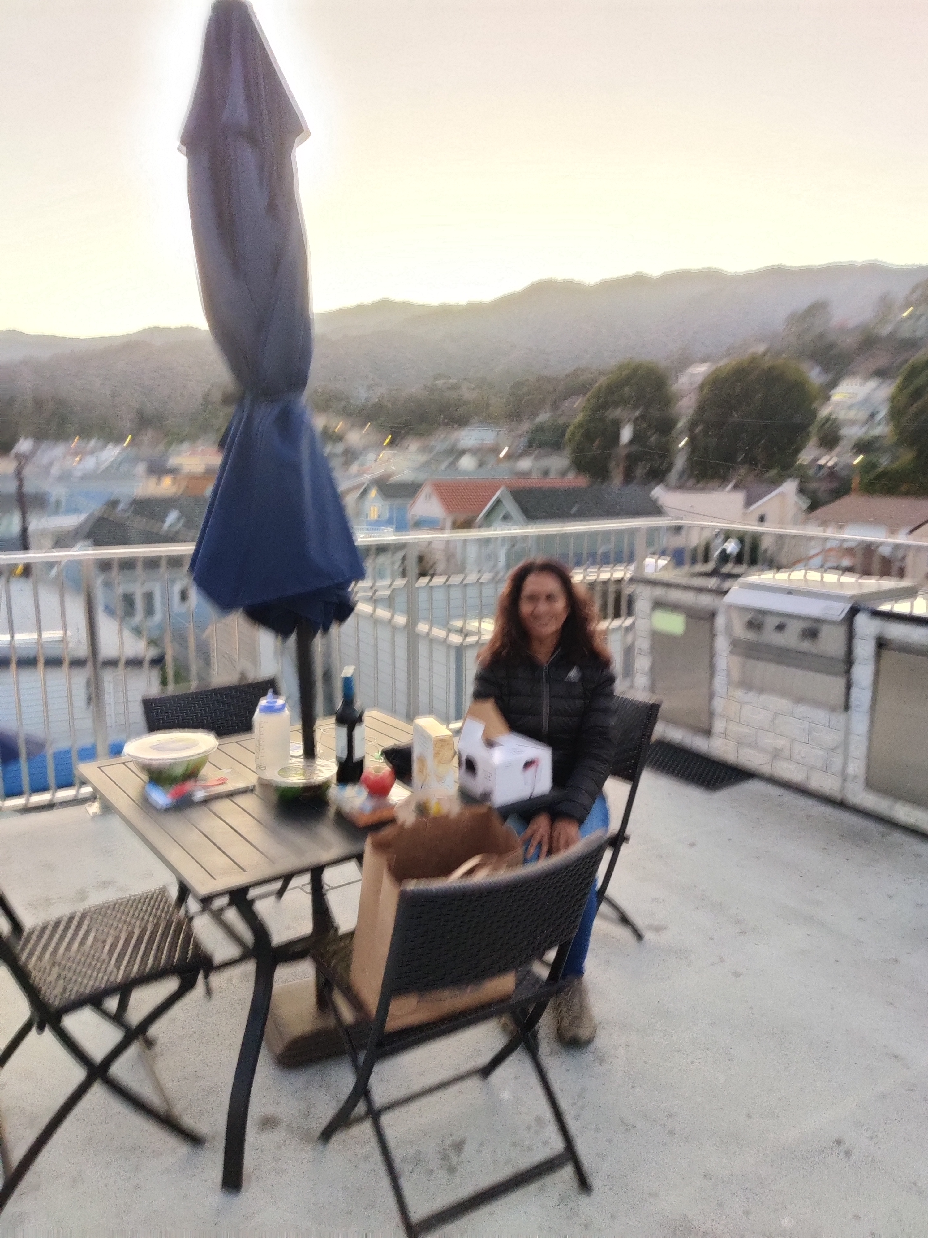 |
| Rooftop dining at Seacrest Inn |
 |
| Us in Avalon |
 |
| Avalon Casino |
 |
| Cold and rainy on the ecotour |
 |
| Eagles Rest Lodge has seen better days |
 |
| Avalon at night |
We had our fist desert field class for a few years. Since there were only four of us and we all fit into the 4xe, we decided to head through Arroyo Tapiado and park at Diablo Dropoff. From there we hiked to our normal parking spot and let the students loose to find Skull Rock. On the way out, we re-discovered the pass and headed out through the wash.
 |
| Looking down Diablo Dropoff |
 |
| Desert scenery |
 |
| Skull Rock |
 |
| Coming down over the pass |
 |
| Lots of caterpillars |
 |
| Crossing the desert |
For my first multi-day offroad trip, I hooked up with Badlands 4x4 for a 4 day trip through Death Valley National Park.
Day 0
Since the trip started early in Beatty, NV, I left a day early to stay overnight in Beatty. The trip up was nice and uneventful. I stopped for a quick hike at Salt River then made it to Beatty. The first thing I noticed were all the feral burros. I camped at a RV park and had dinner at a local BBQ place. Beatty is a nice little town.
 |
| Camping at RV park |
 |
| Beatty burro |
Day 1
The 10 cars all rendezvoused at a local gas station for a briefing. Due to the recent storms, many of the major roads through the park were closed so we had to work around those.
First stop was Chloride City. We had our first taste of 4L going over some fairly easy obstacles. At the old mining districts were several building and lots of adits.
Leaving Chloride City, we had to drive all the way down to Death Valley Junction and into the park. We stopped at Furnace Creek for permits and lunch. It was a balmy 90 degrees! Next stop was Stovepipe Wells for gas. From there we drove through Emigrant Canyon and out to Augenberry Point. The views from here are some of the best I have seen. We ended up at Wildrose to camp for the night.
 |
| Driver meeting |
 |
| Chloride City mine |
 |
| Chloride City |
 |
| Lots of closed roads in DVNP |
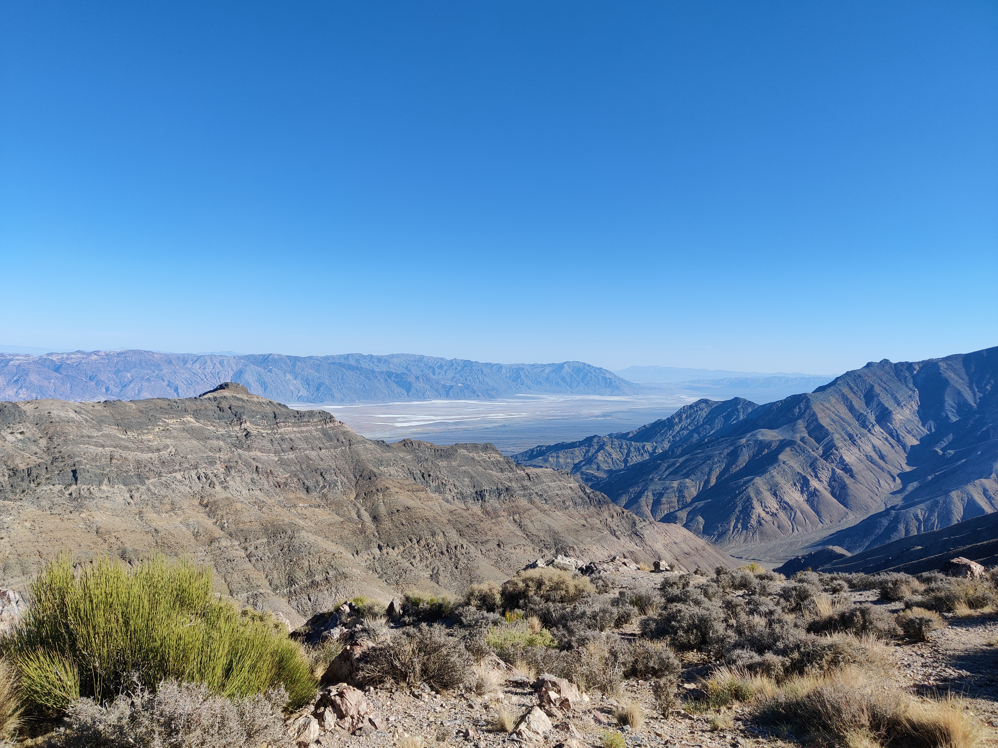 |
| View from Aguireberry Point |
 |
| View from Aguireberry Point |
 |
| Camp at Wildrose |
After a good night's sleep, we headed out on Wildrose Rd out into Panamint Valley. We drove south for a while mainly on the west side of the valley. We then turned into Goler Wash and an awesome ride to Barker Ranch. We had lunch at the ranch which was the last hideout of the Manson family. After eating, we headed over Mengle Pass. The pass had a few tough obstacles but we all made it through ok. Next stop was Geologist's Cabin in Butte Valley. The cabin was quite nice. After a short visit, we headed back the way we came. Back in Panamint Valley, the wind really picked up. To get out of the wind, we headed back to Wildrose to camp for the night.
 |
| Driving in Panamint Valley |
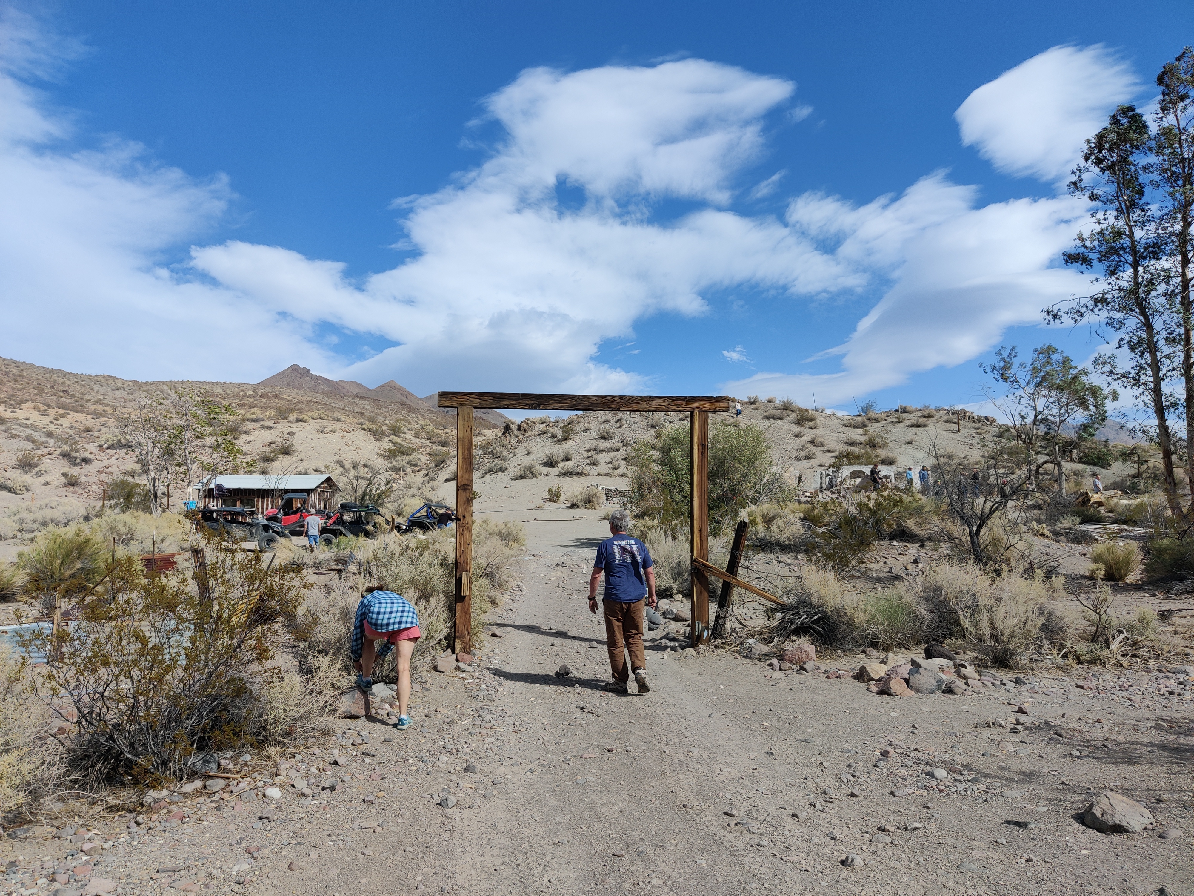 |
| Barker Ranch |
 |
| Another Manson victim? |
 |
| Butte Valley |
 |
| Inside Geologist Cabin |
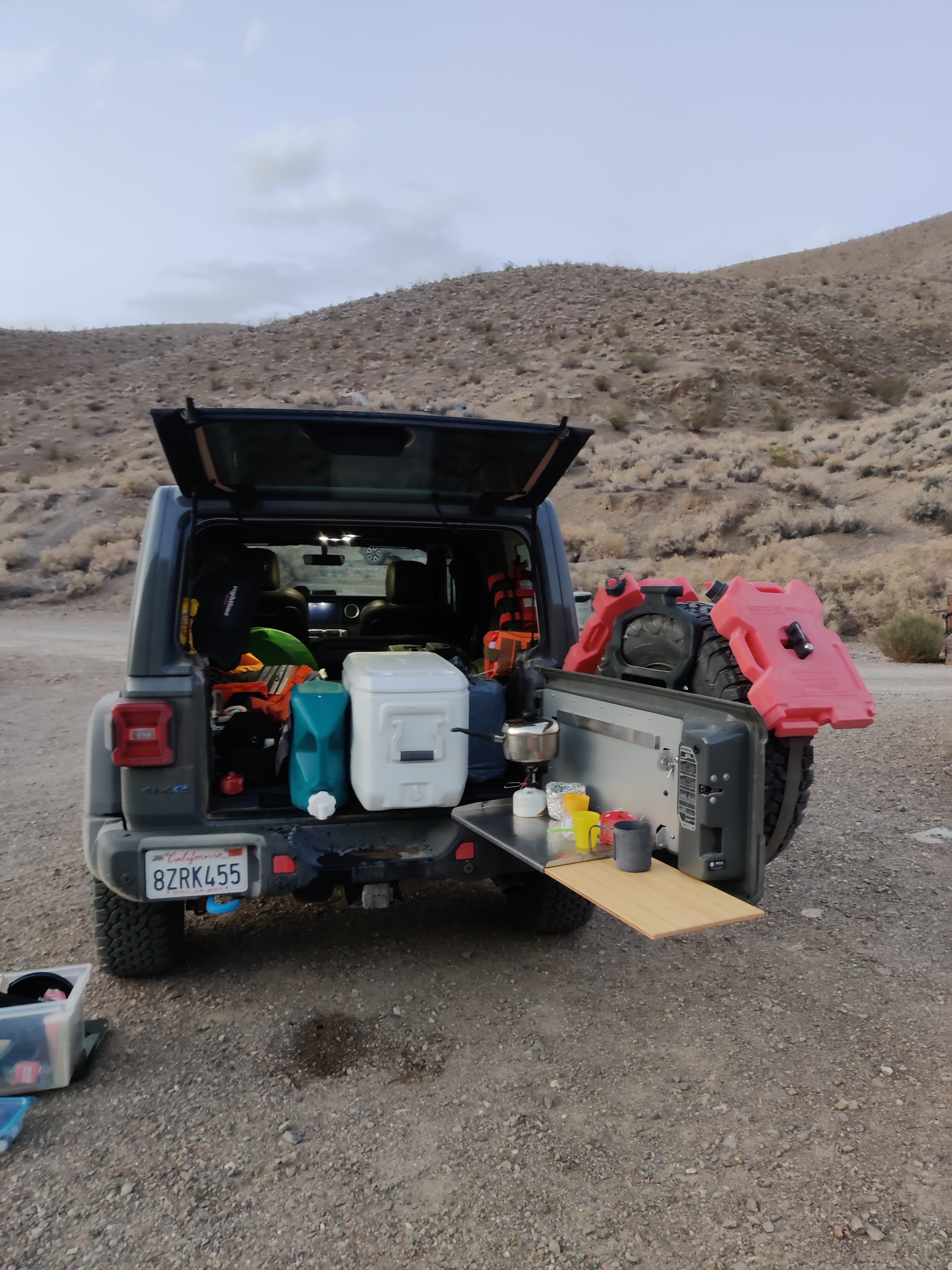 |
| Making dinner |
 |
| Second camp at Wildrose - note the rock holddowns |
Day 3
The night wasn't too windy but the tent did great anyway. Heading back into Panamint Valley, we turned north and stopped at Panamint Springs for gas, snacks and other stuff. We then headed west on 190 and then north on Saline Valley Road. It was a nice climb into Hunter Mt. area. We stopped briefly at Hunter Cabin and then drove out to Lost Burro Mine. The mine still had lots of structures and was a nice place to visit. After lunch at the mine, we headed back to Saline Valley Road and headed down Grapevine Canyon into Saline Valley. The road was very bumpy and rocky until we got to the bottom. From there we headed to Warm Springs for camp. The wind picked up again, but it wasn't too bad. We had a nice dinner near our vehicles. I think only a couple of group tried the springs.
 |
| Start to Saline Valley Road |
 |
| Looking down into Panamint Valley |
 |
| Hunter Cabin |
 |
| Lost Burro Mine |
 |
| Inside cabin at Lost Burro |
 |
| Junction marker sculpture at Warm Springs |
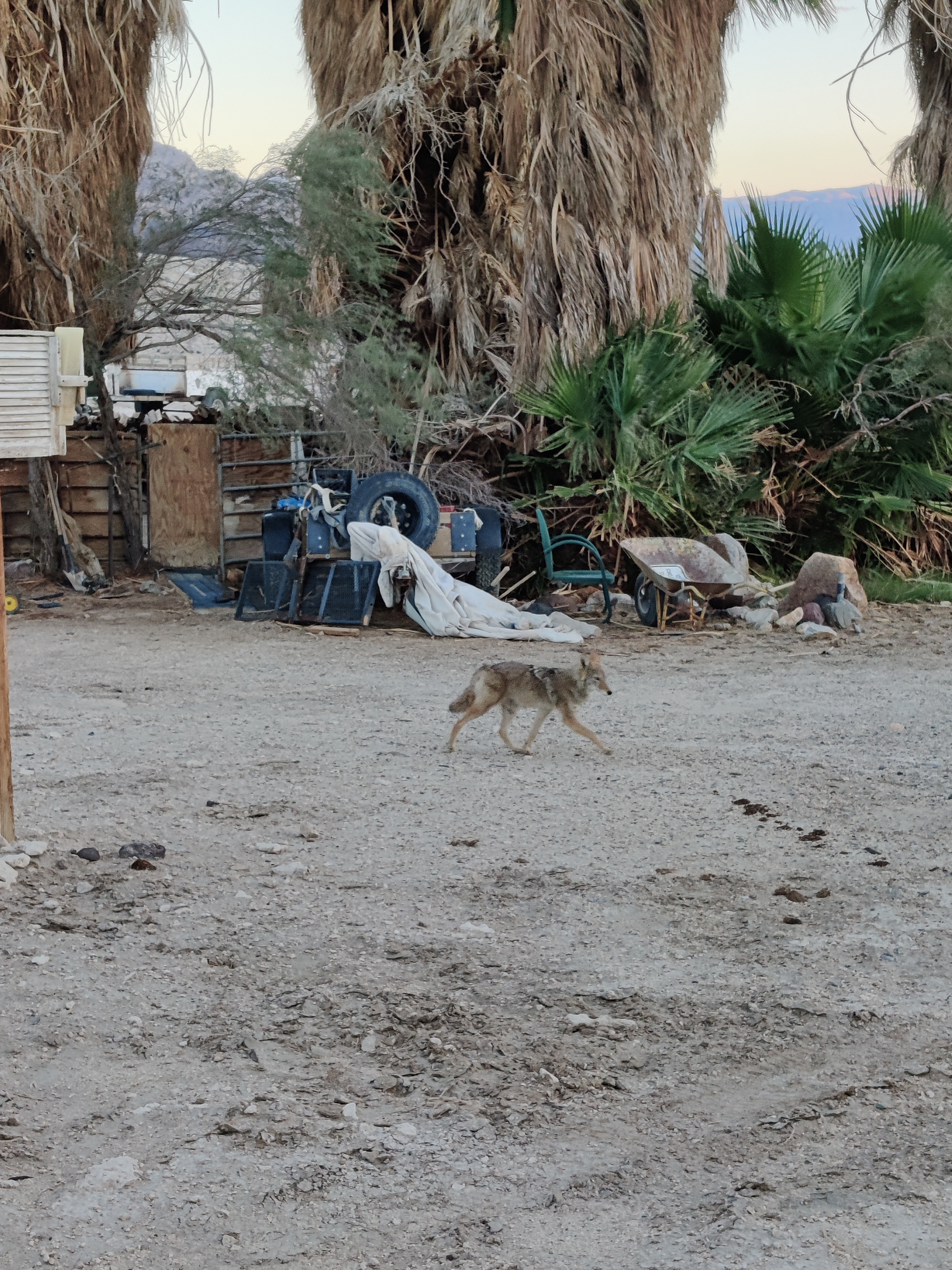 |
| Coyote at Warm Springs |
 |
| Camp at Warm Springs |
Day 4
The next day, we headed north on Saline Valley Road over North Pass and turned east towards Big Pine. After airing up, I left the group and headed home.
The trip was super awesome! The Jeep did great as did all my gear. The only big change I will need to make is to install a hard-wired GMRS radio since my HT's kept running out of battery.
 |
| Getting gas with Mt. Whitney in the background |
